Concord
History:
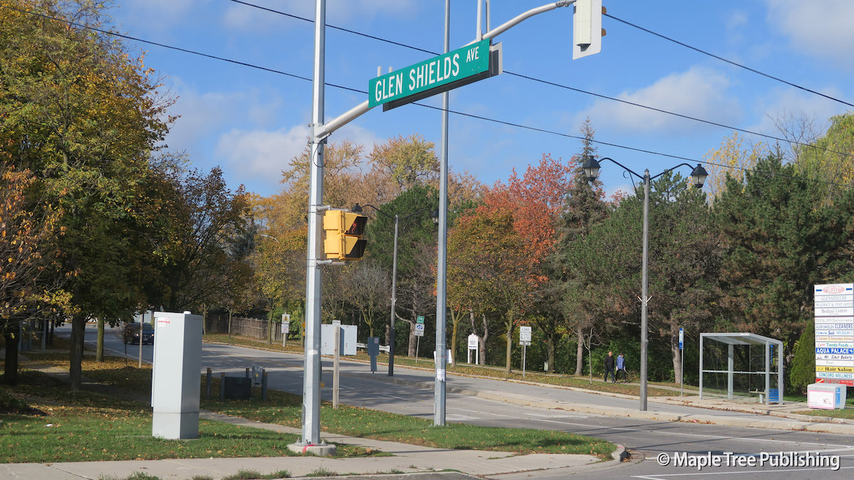
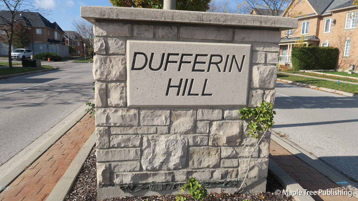
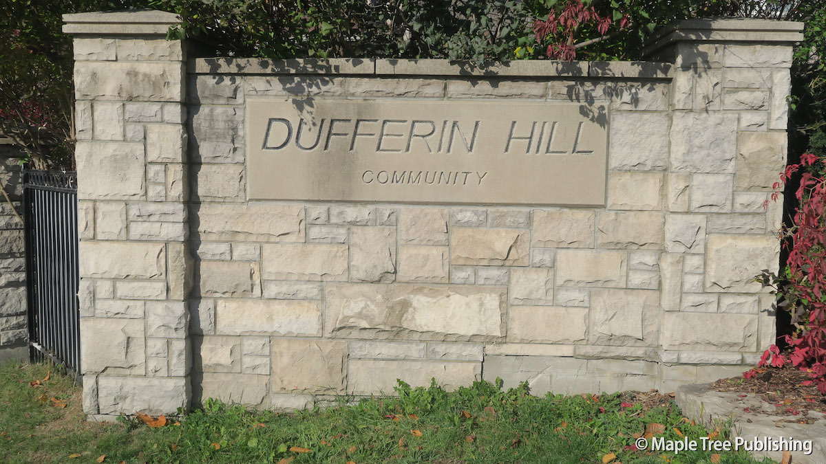
Concord came into existence as a farming hamlet. The name Concord makes reference to the birthplace of Hiram White, an early settler who was born in Concord, Vermont. In 1853 the Ontario Simcoe and Huron Railway opened a station in Concord putting this hamlet on the map. The Concord post office was opened the following year in 1854. Concord was a typical rural crossroads hamlet; too small to be considered a village. Still it had a general store, a blacksmith shop and a wagon shop. By the 1970s Concord had changed from an agriculture based community to residential and industrial land uses. The Glen Shields neighbourhood was developed in the 1970s and 80s, followed by the Dufferin Hill neighbourhood in the 2000s
Overview:
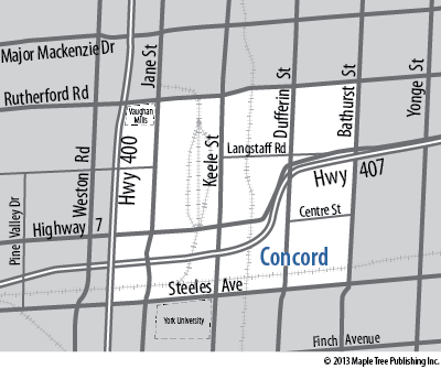
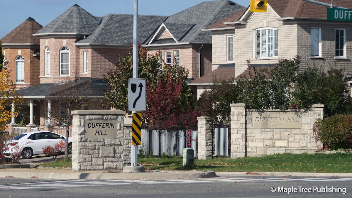
The northeast section of Concord is a residential area known as Dufferin Hills. The southeast pocket features another residential area known as Glen Shields. Concord also includes a large industrial district. Concord is well serviced by commuter highways including Highway 407 and Highway 7 which both skirt their way through this neighbourhood.
Lifestyle:
Vaughan Mills is Toronto’s Premier Outlet Mall. In addition to being a local landmark and neighbourhood hub Vaughan Mills is also a tourist destination featuring over 200 fashion outlets as well as dining and entertainment.
Homes:
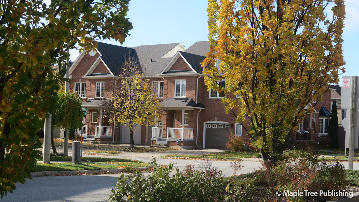
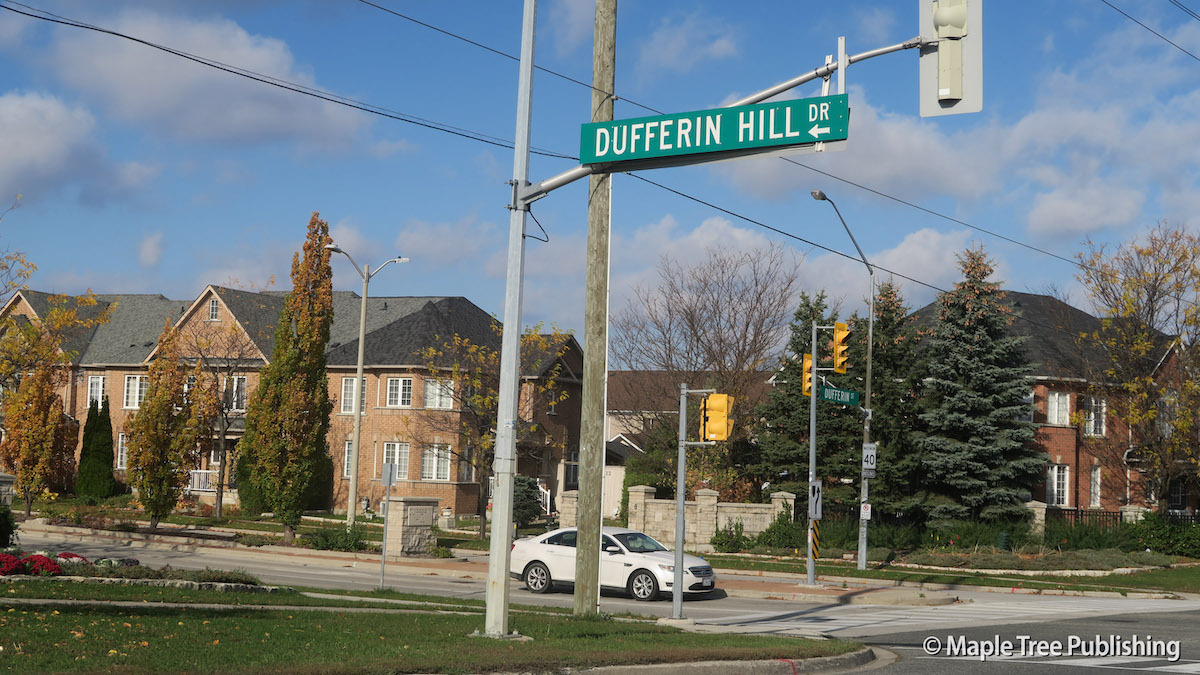
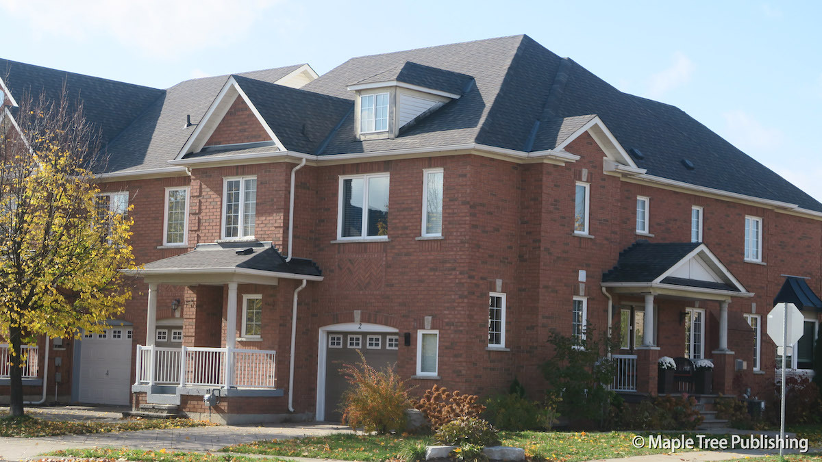
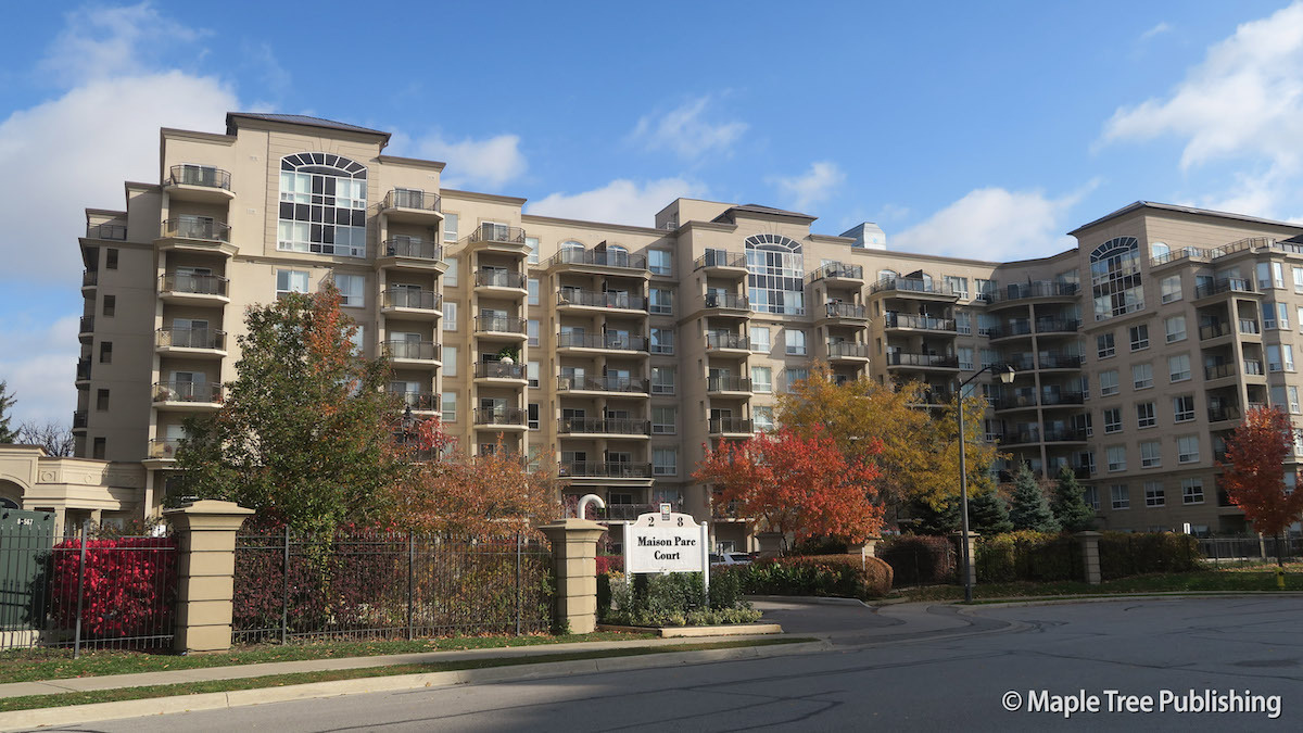
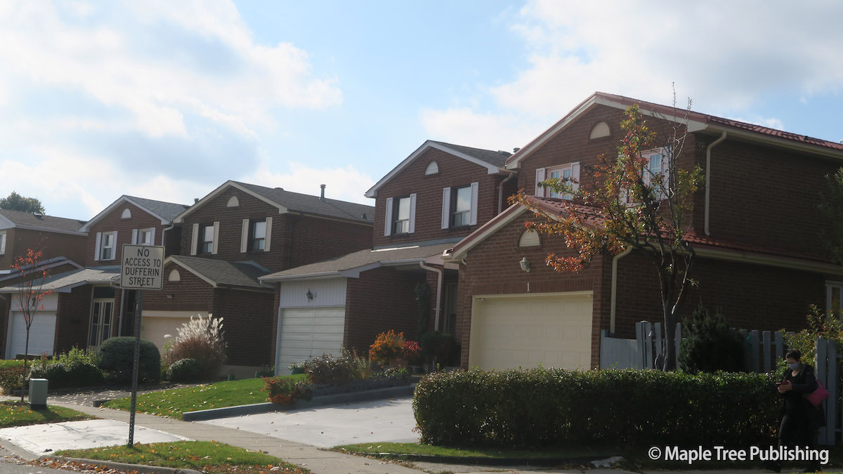
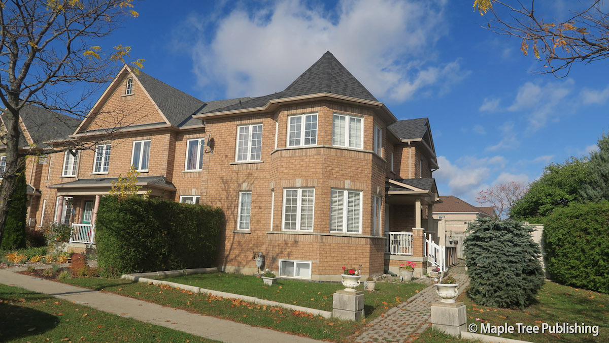
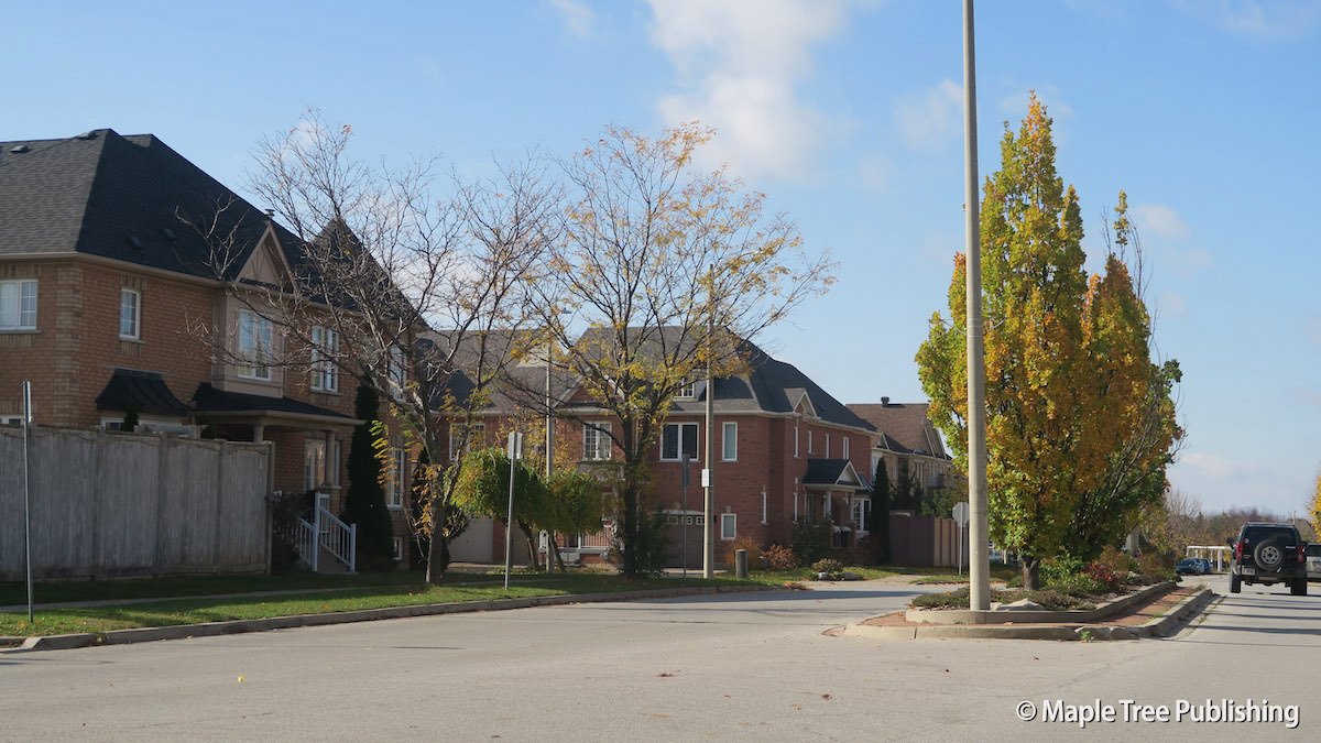
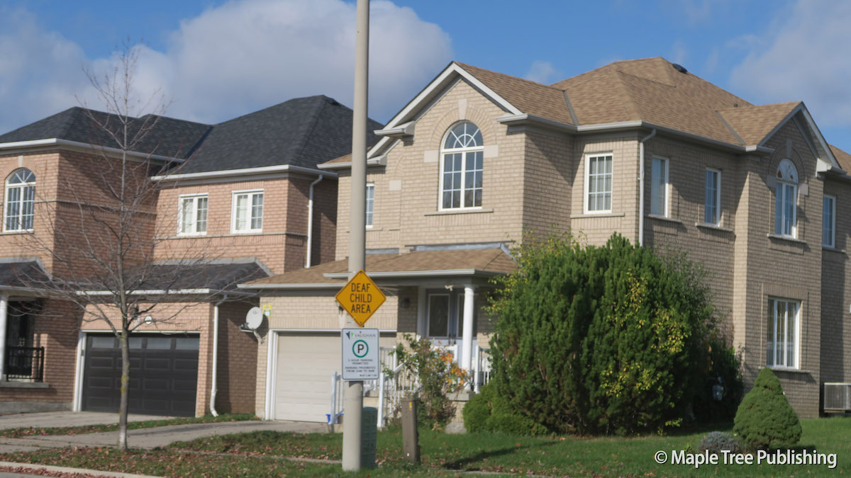
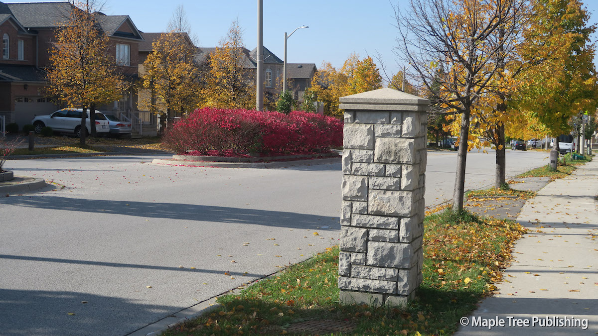
The Glen Shields residential area was built in the 1970s and 1980s in the southeast section of Concord near Steeles Avenue and Dufferin Street. These are mostly modest detached homes with single car garages. Detached backsplit homes with built-in garages are also prevalent. The Dufferin Hill subdivision was built in the 2000s in the northeast part of Concord at Rutherford Road and Dufferin Street. Dufferin Hill features a mix of traditional brick detached homes and townhomes.
Concord Stats
Walkability:
Low
Bikeability:
Low
Public Transit:
High
Affordability:
Medium
Greenspace:
Low
Medium
Legend: Low, Medium, High
Commute Times
* All commuting times provided are approximate times only. Commute times may increase or decrease depending on where you live within the neighbourhood and the time of day i.e rush hour versus off hour commutes. Time estimates to public transit are based on walking distance or bus line connection whichever is quicker. All other commute times on the chart above are based on drive times.
