Bay Ridges
History:
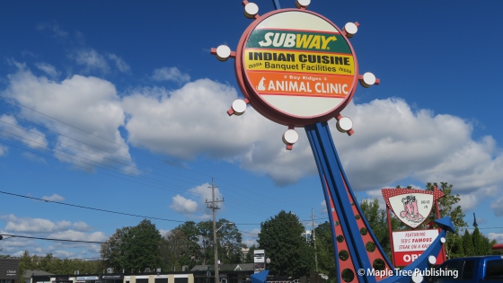
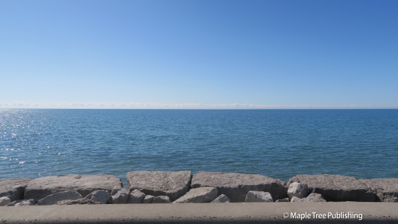
Bay Ridges history dates back to the mid 1800s when the Frenchman’s Bay Company operated a grain elevator with a busy wharf in a sheltered harbour situated on the shores of Lake Ontario. A lighthouse welcomed visitors to the village that sprung up around this port. At this time this area was known as Fairport Village. By the late 1800s the railway industry replaced shipping as the preferred method for transporting grain which was harvested throughout Pickering Township. This decline is shipping would ultimately spell the demise of Fairport Village as a once thriving community.
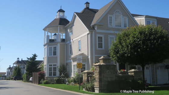
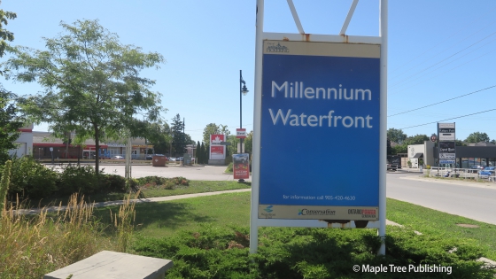
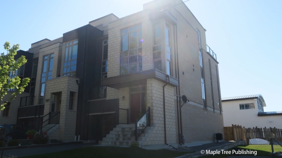
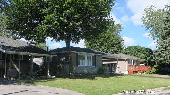
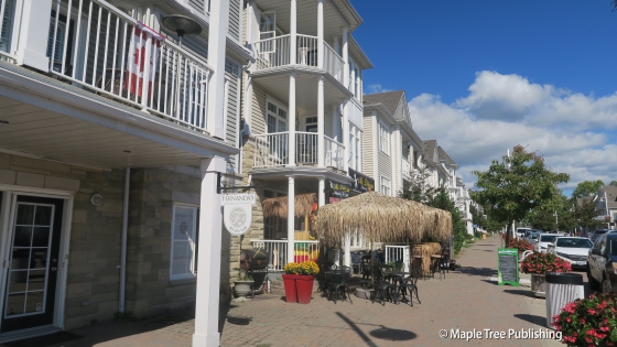
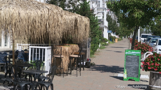
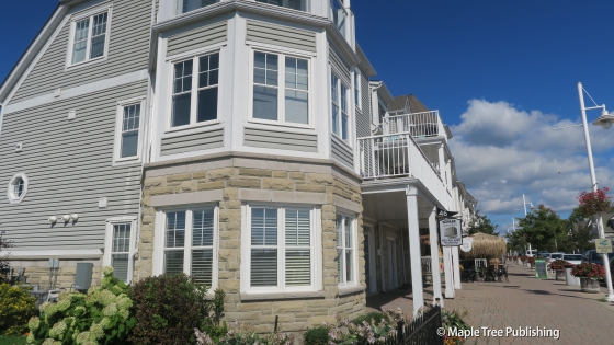
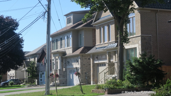
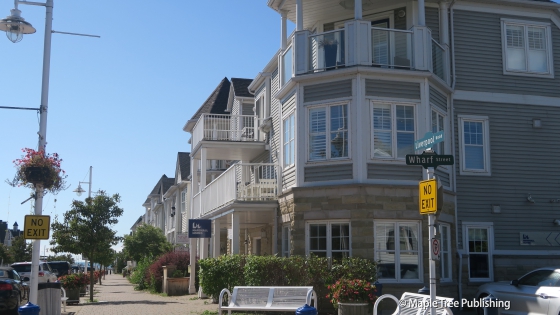
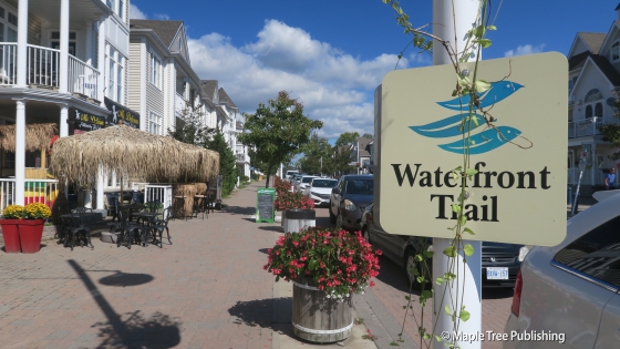
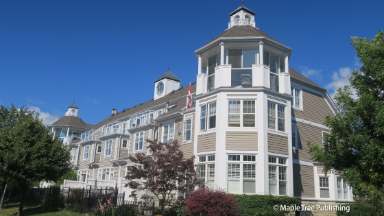
The next chapter in the history of this area occurred in the 1910s and 20s when many Toronto residents built vacation cottages by the lake. When Highway 401 opened in the 1950s, providing quick and easy access to the City of Toronto many of these cottages were winterized for use as year round homes. The residential development of the present day neighbourhood took place mostly in the 1960s and 70s. Nautical Village, a collection of beach style homes and retail boutiques developed in the early 2000s has become an integral part of the Bay Ridges neighbourhood.
Overview:
Bay Ridges has the feel of a large village with Liverpool Road serving as the main street. The Bay Ridges Plaza located off Liverpool Road is a valued neighbourhood hub with a very popular old fashioned hamburger drive-up restaurant. The focal point of the neighbourhood is the waterfront over looking Frenchman’s Bay along the shores of Lake Ontario. The Bay Ridges waterfront is a vibrant destination that includes marinas, waterfront parks, nature trails and a quaint shopping area at the foot of Liverpool Road. The houses by the lake have a nautical theme which fit in nicely with their surroundings.
Lifestyle:
Bay Ridges has two community shopping plazas, one at the entry to the neighbourhood off Kingston Road and the other in the middle of the neighbourhood off Liverpool Road at Krosno Boulevard. There is also a quaint, old fashioned, main street shopping district at the foot of Liverpool Road that has a nautical theme meshing in nicely with its surroundings on the shores of Lake Ontario. These stores include boutique shops, restaurants, and professional services.
Homes:
Bay Ridges has a diverse housing mix including brick and frame siding clad semi-detached homes, as well as newer contemporary style townhomes, ranch-style bungalows on wide lots, and a growing number of infill custom designed homes. There is also a collection of nautical themed white clad townhomes overlooking the waterfront.
Recreation:
Bay Ridges is located on the shores of Lake Ontario overlooking Frenchman’s Bay. Fittingly there are three marinas here that cater to boating and yachting enthusiasts. The focal points of the waterfront are Millennium Square and Beachfront Park that feature a waterfront trail and a board-walk with spectacular views.
Arts:
Durham West Arts Centre and the PineRidge Arts Council both promote art events in Pickering including the annual Durham West Studio Tour. Esplanade Park adjacent to the Pickering Municipal Complex has a summer concert series hosted by the City of Pickering. Esplanade Park is also the site of the Pickering Farmer’s Market. In addition to a variety of farm fresh food this market also includes music and arts activities for families as well as a variety of artisans showing their work. The City also hosts a summer Waterfront Concert Series at Pickering’s Millennium Square.
The City of Pickering has an official Dance Company known as SynchroniCity that performs at the annual Easter Parade, Santa Claus Parade, Tree Lighting, Artfest and other community events.
Bay Ridges Stats
Walkability:
High
Bikeability:
High
Public Transit:
Medium
Affordability:
Medium
Greenspace:
High
Recreation:
High
Legend: Low, Medium, High
Commute Times
* All commuting times provided are approximate times only. Commute times may increase or decrease depending on where you live within the neighbourhood and the time of day i.e rush hour versus off hour commutes. Time estimates to public transit are based on walking distance or bus line connection whichever is quicker. All other commute times on the chart above are based on drive times.